 |
| My backpack at the Wheeler Trail, where I walked into the woods and started the steep ascent up Mount Helen, pictured here. The snowfields were incredibly vertical! |
SummitPost.org claims Mount Helen (also written on some maps as Belle and Helen Peak) is a straight-forward ascent: only 5.1 miles round trip, just one steep section that involved bush-whacking with no trail. Somehow, when I planned to hike the mountain, I ignored the hefty elevation gain (2,700 feet in 2.5 miles), and I didn't examine the topo map carefully enough. My cousin Brian told me he had "run up there" before; he said it was a great mountain. I was in Breckenridge staying with my aunt, anyway, so I decided I would wake early and "run up" to the summit of Mount Helen, too.
I'll tell you more about Helen Rich and Belle Turnbull in a moment. First, the mountain.
How to hike Mount Helen:
 |
| The beautiful green tundra is STEEP, hiding at least 3 false summits. |
1. The SummitPost.org directions are good, as long as you remember that "taking the Wheeler Trail" means hiking the bit that stretches between the 4WD road toward Mohawk Lakes (#800) and the 4WD road toward Crystal Lakes (#803). It is a bit easier to walk up #800 than #803, and I think a bi shorter.
2. Just as recommended, I left the Wheeler Trail when I thought I spied a place I could trek up through the forest to treeline on Mount Helen. For a while, though, I stood on the Wheeler Trail and stared at Mount Helen, utterly intimidated. It looks steep from every angle. Finally, I took a deep breath and strode forward into the forest, but not before I took a screenshot of my iPhone's compass reading, just in case. The way up to treeline is one of the steepest hiking ascents I've ever done (and I've climbed Long's Peak a few times). The fact that it's trees and plants and grasses does not help, as I'm certain it would still hurt to fall down that wall. I was relieved when I got to treeline and saw the great green slope of Mount Helen's summit stretching away from me.
3. From treeline, it's just a tundra trudge up to the Mount Helen summit. It took me about an hour, which included some cursing at the three false summits, several breaks to appreciate the scenery (which just improved as I climbed), and a greeting of a busy pika.
4. The summit is a surprise after all that tundra -- it's rock, and sheer on its north side. Considerate (or desperate) people have built rock shelters up there, so I nestled into the one on top to admire the surrounding peaks (Father Dyer Peak, Crystal Peak, Peak 10) and the frozen Upper Crystal Lake. Beautiful wildflowers grow up there (at least on June 27, when I hiked the mountain). It was windy, but not in my cozy shelter.
5. The hike down is harder, as hikes on very steep mountains usually are. I proceeded slowly, admiring and photographing perfect forget-me-nots on my way. I was glad to find the Wheeler Trail again.
 |
| At the summit of Mt. Helen on June 27, 2017 |
 |
| Forget-me-nots showing off the Colorado blue. |
Who Helen and Belle Were:
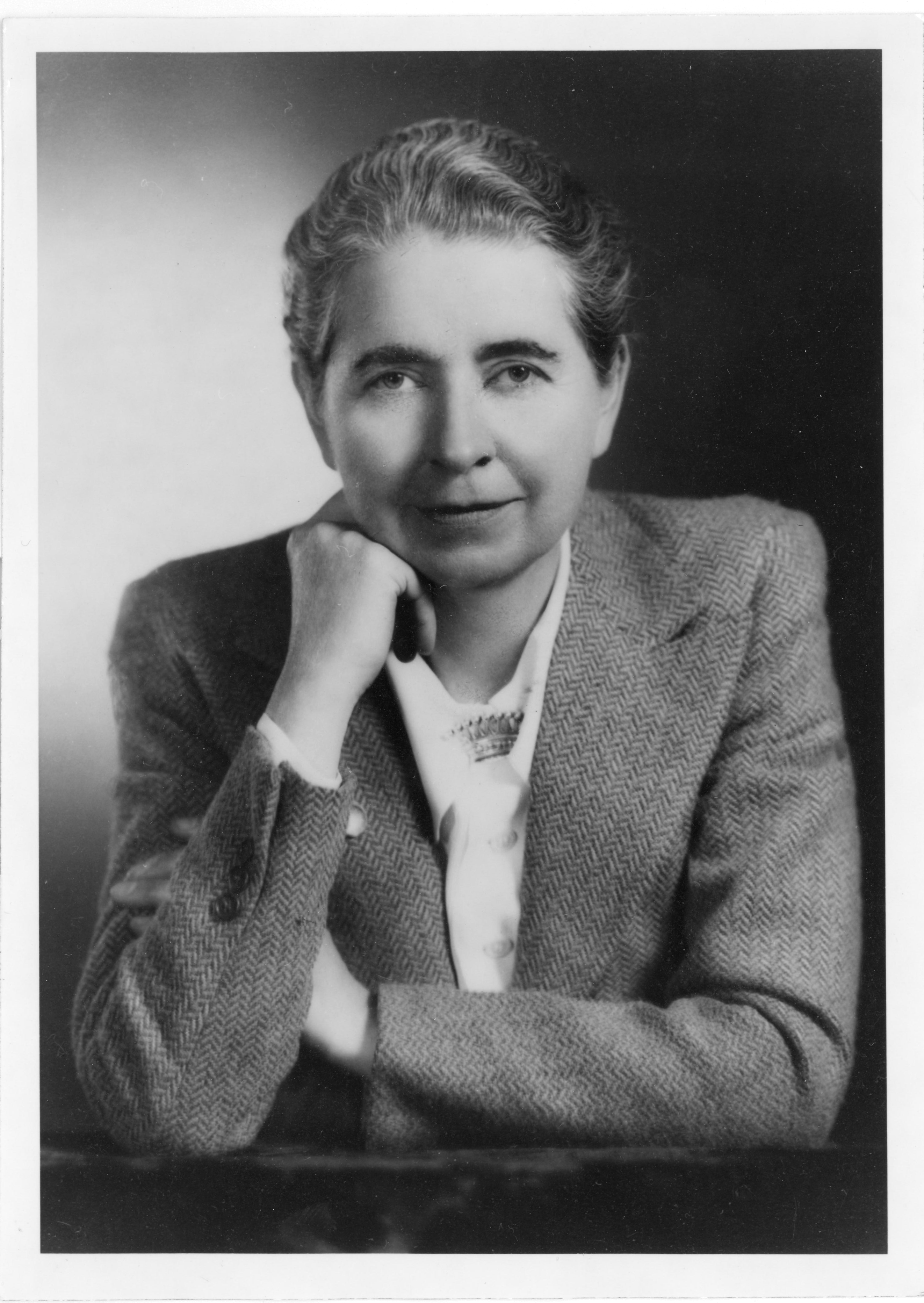 |
| Helen Rich |
Helen Rich and Belle Turnbull (the historians, of course, provide no help for how to characterize their relationship) moved to Frisco in 1937, and then to a cabin on French Street in Breckenridge in 1939. Rich worked as a social worker for the Department of Public Welfare of Summit County, where she handled job placements and welfare payments, but she also concentrated on her writing: she published her first novel, The Spring Begins, in 1947, and her second novel, The Willow Bender, in 1950. Belle, meanwhile, who had won the Harriet Monroe Memorial Prize from Poetry Magazine in 1937, concentrated entirely on her writing (though she did serve as a clerk typist for the War Price and Rationing Board in Breckenridge during WWII). Belle published several volumes of poetry and a novel. A 2017 book, Belle Turnbull: On the Life and Work of An American Master, by David Rothman and Jeffrey Villines, illuminates Belle's work, demonstrating that, in her quest to capture mining and mountain life, she remains one of Colorado's most important poets. Her most well-known books are the verse narrative Goldboat (Houghton, Mifflin, 1940) and The Tenmile Range (Prairie Press of Iowa City, 1957), a collection of poems.
But none of that history adequately explains who Helen or Belle were. As I hiked Mount Helen, I longed to discover more about them. What was their relationship like? Did the residents of Breckenridge consider them a couple, a Boston marriage, or? Did the two of them hike together? Did either of them every hike Mount Helen? What was it called then (note that an alternative name for the peak, according to the U.S. Geological Survey is Belle and Helen Peak)? I plan to read the Helen Rich papers and the Belle Turnbull papers (both collections available in the Denver Public Library collections) to find out more. I've ordered the Belle Turnbull book, too, and I've added Helen and Belle to my list of strong women couples to admire.
 |
| Belle Turnbull |
***
From the beginning of Goldboat (1940), by Belle Turnbull:
Over the Great Divide unrolls the highway
And cars go wagging their tails among the thunders,
Range to range stitching, weather to weather.
In half a day you can hem up the watershed
And rush on the prairie or race on the desert again
Unaware of the infinite clues of legend,
The featherstitching of roads that thread the meadows,
Follow the gulches, follow the mountain pattern.
Or a man may twist his wheel where a wild road feathers
Under a range that marches on a valley,
Turn and be gone away to Rockinghorse country,
Wind through a park beside its swaggering river,
Creep on a shelf around a rocky shoulder,
Check in a pasture, by a waterpit
Under a rocksnake of cold blue cobbles mounded.
Under a range that marches on a valley,
Turn and be gone away to Rockinghorse country,
Wind through a park beside its swaggering river,
Creep on a shelf around a rocky shoulder,
Check in a pasture, by a waterpit
Under a rocksnake of cold blue cobbles mounded.
Still pond, no moving. And a wooden bird,
A squat hightailing monstrous waterwidgeon
Diving its chain of spoonbills down and under
Red-rusted in the turquoise pit.
No moving. And no sound from the grotesque
Impossible of vision.
A squat hightailing monstrous waterwidgeon
Diving its chain of spoonbills down and under
Red-rusted in the turquoise pit.
No moving. And no sound from the grotesque
Impossible of vision.
Only the wind,
The long, the diamond wind disturbs that water.
The long, the diamond wind disturbs that water.


No comments:
Post a Comment
Please leave your ideas, your questions, your suggestions, and/or your corrections here.